|
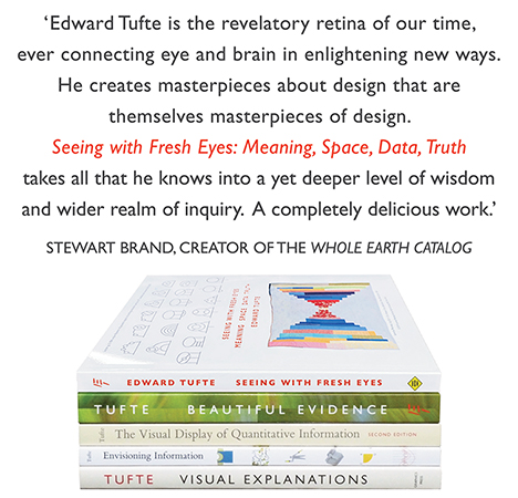
All 5 books, Edward Tufte paperback $180
All 5 clothbound books, autographed by ET $280
Visual Display of Quantitative Information
Envisioning Information
Visual Explanations
Beautiful Evidence
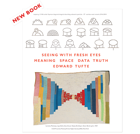
Seeing With Fresh Eyes
catalog + shopping cart
|
Edward Tufte e-books Immediate download to any computer: Visual and Statistical Thinking $5
The Cognitive Style of Powerpoint $5
Seeing Around + Feynman Diagrams $5
Data Analysis for Politics and Policy $9
catalog + shopping cart
New ET Book
Seeing with Fresh Eyes:
catalog + shopping cart
Meaning, Space, Data, Truth |
Analyzing/Presenting Data/Information All 5 books + 4-hour ET online video course, keyed to the 5 books. |
Dear Professor Tufte (and anyone else with some ideas),
Hello, my name is Ilene Solomon. I am in a post-grad program called the Institute without Boundaries at the Bruce Mau Design studio in Toronto.
At the Institute without Boundaries we (ten of us) are working on a big project called "Massive Change". This project is an intense look at the current state of design in our world and what that tells us about the future of global design. It is the philosophy of the project that we are at a crucial point in design now and we need to take a serious look at it in order to see where we are heading, where we want to go, what is moral / ethical, what is not. It is very fascinating! The project will produce many outcomes: a book published by Phaidon, a website, a radio show, and a large exhibition that will open in Vancouver in October and travel the world for about 5 years.
At the moment we are all working very hard on the exhibition. I am in charge of the "information economy" and thus, those rooms in the exhibition. One of the rooms that I am designing is called "global portraits." This room will feature anywhere from between 20 — 8 projected images of our earth (globe) that illustrate information design. The point is that new sensing and imaging techniques are helping to achieve and unprecedented understanding of physical, chemical, social, biological, and economic interactions on a global scale. By looking at the "heavy loads" of information we see the truly awesome possibilities for sharing and using global knowledge. The visualization of this important data, (the best part), is that is can jump-start a movement. For example, some images that we are definitely going to use are:
1. The first picture of earth from space that inspired the creation of Earth day.
2. A picture or video of the ozone hole that created all of the stir about the ozone and mobilized people to react...probably a video sequence of the ozone in 1987, the year in which the images spurred the creation of the Montreal Protocols.
But we need more fascinating ones like those. Currently I have lots of short videos (we are trying to get as many videos as possible, but photos are good too) of geophysical things such as global precipitation, global ocean currents (from earth simulator), space, junk, global cloud data, magnetosphere, glacier mapping, etc. These are beautiful portraits and we may choose to concentrate solely on geophysical things because of them. However we are definitely very interested in getting more maps that chart cultural data. We have tons (you can find one of anything if you look hard enough) from the State of the World Atlas, etc. However, these maps are so common, and we are looking to show people new, yet very important and influential maps. For example, there is a great map that the Citizen Lab at the University of Toronto and a Harvard center are putting together that maps all of global Internet censorship. We are working with them to try to obtain this map, but it is not finished yet.
Basically, what I would like to ask you is for your advice and/or suggestions as to finding conceptually strong, and/or beautiful maps that have not been seen by many but probably should! Ones that have inspired change in the past (like the ozone photo) or ones that will inspire change in the future. I think that I have exhausted NASA's websites. I am especially looking for global portraits that focus on social / cultural issues, but not the ones published in the State of the World Atlas. Any specific maps you would recommend, or any places to look would be so great! I would deeply appreciate any help you could give me!
Thanks so much,
Sincerely,
Ilene Solomon
-- Ilene Solomon (email)
The short film "Powers of Ten", by Charles and Ray Eames, may be a little off topic, but it is an interesting look at the world, and more.
They made a second version of the film that has greater range, but I prefer the first.
-- David Cerruti (email)
Place the images in context; for example, the classic Powers of Ten scales the earth and everything else together.
Annotate important parts of the images; have arrows pointing to key spots and words out in the margin explaining the key spots.
Show some aspects of the earth with many images on very long time scales; small multiples may work better than animations here.
-- Edward Tufte
Try the maps produced by National Geographic. The "centerfold" maps that come out a few times a year in their monthly publication often depicit pertinent global issues (I recall one recently on population growth and density in major cities that was quite revealing). The cartography (ie information/analytic design is usually first rate). Here is link: http://www.nationalgeographic.com/maps/
Also try ESRI Map Gallery for more ideas: http://www.esri.com/mapmuseum/index.html
-- Pat Twiss (email)
http://learn.arc.nasa.gov/worldwind/
A sort of powers of ten in 3d, worth the download time.
-- anonymous (email)
|
||||||