|
All 5 books, Edward Tufte paperback $180
All 5 clothbound books, autographed by ET $280
Visual Display of Quantitative Information
Envisioning Information
Visual Explanations
Beautiful Evidence
Seeing With Fresh Eyes
catalog + shopping cart
|
Edward Tufte e-books Immediate download to any computer: Visual and Statistical Thinking $5
The Cognitive Style of Powerpoint $5
Seeing Around + Feynman Diagrams $5
Data Analysis for Politics and Policy $9
catalog + shopping cart
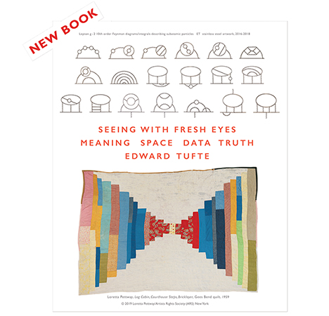
New ET Book
Seeing with Fresh Eyes:
catalog + shopping cart
Meaning, Space, Data, Truth |
Analyzing/Presenting Data/Information All 5 books + 4-hour ET online video course, keyed to the 5 books. |
I wondered if Edward Tufte or any of the rest of you have seen the book The Atlas of North American Exploration by William Goetzmann and Glyndwr Williams. I think it does a very effective job of graphically and verbally presenting various historic explorations throughout North America. I especially love the 1854 hand-colored lithograph (pp 168 - 169) done for the Great Pacific Railroad survey. It is a sort of 3-D map showing a panoramic view of the Rocky Mountains, and terrain that a railroad could pass through.
-- Kathy Lingo (email)
How does it compare with the excellent Atlas of Early American History by Lester J.Cappon, Barbara Bartz Petchenik, and John Hamilton Long (Princeton 1976)?
-- Edward Tufte
I'm not familiar with the historical atlas by Cappon et al. Sounds interesting, I'll look for it!
The Goetzmann and Williams atlas was published in 1992. It is organized around North American geographic explorations and time periods, beginning with the Norse in 900 AD and going on to the Race to the Pole in the early 20th century. It combines historic drawings and maps made by the explorers, with contemporary maps nicely annotated with the routes, dates, and major events. Some pretty humorous maps by charlatans in the 1500s clearly document false explorations, discoveries of water passages to the western sea, etc. I am not a history expert. I found that I could understand the history presented in this book much more clearly than the usual history book chapters of endless text.
-- Kathy Lingo (email)
|
||||||