|
All 5 books, Edward Tufte paperback $180
All 5 clothbound books, autographed by ET $280
Visual Display of Quantitative Information
Envisioning Information
Visual Explanations
Beautiful Evidence
Seeing With Fresh Eyes
catalog + shopping cart
|
Edward Tufte e-books Immediate download to any computer: Visual and Statistical Thinking $5
The Cognitive Style of Powerpoint $5
Seeing Around + Feynman Diagrams $5
Data Analysis for Politics and Policy $9
catalog + shopping cart
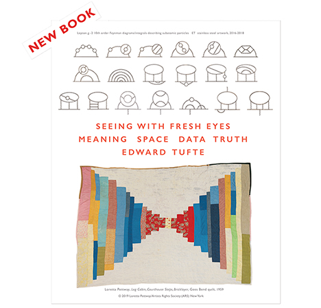
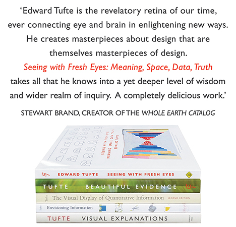
New ET Book
Seeing with Fresh Eyes:
catalog + shopping cart
Meaning, Space, Data, Truth |
Analyzing/Presenting Data/Information All 5 books + 4-hour ET online video course, keyed to the 5 books. |
An intriguing use of Google Earth here.
Link via Robot Wisdom, which is also interesting, visual, and unusual.
-- Edward Tufte
Congratulations to the discoverer, but I'm a little disappointed that the article wasn't about what I was expecting it to be about, which was a tool for visually emphasizing the circular features of Google Earth images. Instead, the author just saw them in unmassaged Google Earth colours!
It reminds me that a couple of months ago a friend directed me to Google Earth and I got fascinated by the swirly coloured features of the Sahara desert's interior. I thought at first it must be some false colour emphasis to bring out subtle features of the desert, but apparently not, those are just normal colour changes.
I grew up with maps that showed deserts as uniform yellow solitudes with no interesting structure, in contrast with the inhabited regions and their many and varied shades. I hadn't appreciated that that was nothing more than an expression on the map of where the mapmakers' focus of attention was: nobody was making maps for Bedouins, or if they were, I wasn't seeing them.
I emailed my friend back with my discovery, and a few lines of Lewis Carroll:
He had bought a large map representing the sea,
Without the least vestige of land:
And the crew were much pleased when they found it to be
A map they could all understand.
"What's the good of Mercator's North Poles and Equators,
Tropics, Zones, and Meridian Lines?"
So the Bellman would cry: and the crew would reply
"They are merely conventional signs!
"Other maps are such shapes, with their islands and capes!
But we've got our brave Captain to thank:
(So the crew would protest) "that he's bought us the best –
A perfect and absolute blank!"
-- Derek Cotter (email)
|
||||||